
Belton ZIP Code Directory Coverage
Belton’s confirmed city-level ZIP is 64012. It is a standard Postal Service delivery area serving Belton and parts of the surrounding area. USPS uses Belton as the preferred city name and lists Village of Loch Lloyd as an acceptable alternative place name. That language describes mail delivery. It does not redraw the incorporated City of Belton or establish whether a parcel lies inside city limits.
| ZIP | Areas Covered | Post Office | Notes |
|---|---|---|---|
| 64012 | Belton and parts of the surrounding delivery area | Belton Post Office, 121 Bradford Lane, Belton, MO 64012, 816-331-2122 | Preferred city: Belton. Acceptable alternative: Village of Loch Lloyd. Verify each full address with USPS. |
The single-row table is useful precisely because it avoids claiming a fixed city boundary from a mail code. A 64012 address can fall outside the municipal line, and a city-limit parcel can need a different mailing convention in an edge case.
Belton ZIP Geography and 64012
A ZIP boundary is a USPS delivery geography. It differs from a city limit, a Cass County precinct, a ward, a school boundary, and a legal description. The distinction explains why the Cass County community-health assessment’s 2018-era figure of 27,109 for 64012 should not be treated as a current City of Belton population. Census-derived profiles report 23,953 people for Belton city in 2020, while the city budget describes a current community of more than 25,000 residents. Those figures count different areas and dates.
The City of Belton publishes street, city, subdivision, ward, precinct, zoning, sewer-service, and snow-route maps through its Mapping and GIS page. Use the city materials to understand municipal geography and Cass GIS for parcel context. A delivery label belongs with the USPS result, not with a claim about jurisdiction.
Belton’s mapping and GIS resources provide the local map layers relevant to a Belton ZIP code directory search.
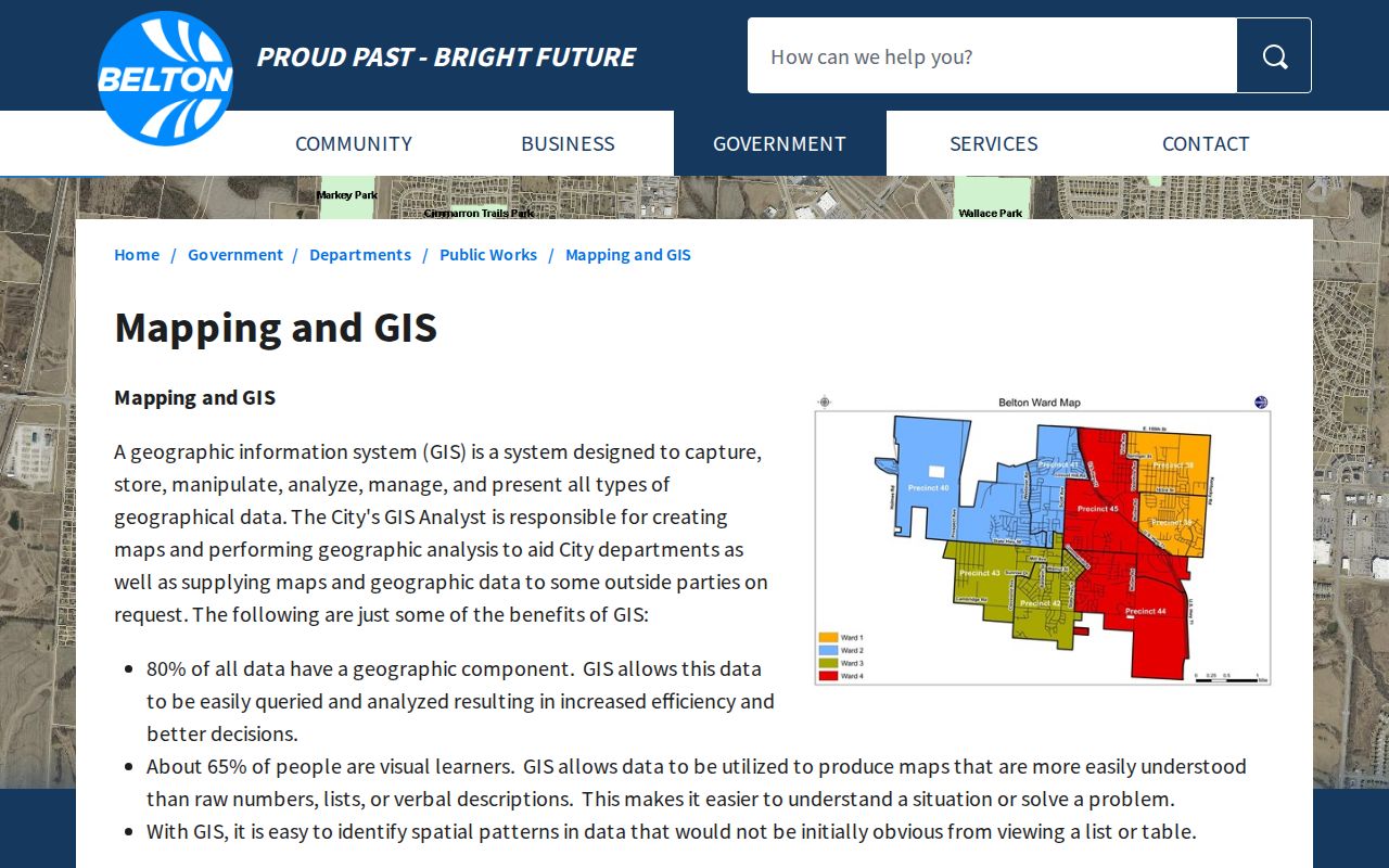
Those maps help compare a delivery-area question with city, subdivision, ward, or precinct geography without treating them as the same boundary.
Belton ZIP Code Directory USPS Check
USPS provides three useful search modes. Use street address plus city and state to confirm the correct ZIP for one delivery point. Use city and state to see ZIPs associated with that city label. Use a ZIP alone to see the cities USPS associates with it. USPS warns that a ZIP result does not confirm that a person or company is at the address, so the lookup is an address-formatting and delivery tool, not a person search.
- Enter the full street address with Belton, Missouri in the USPS address mode.
- Run the city-and-state mode for Belton to compare the postal label with the returned ZIP.
- Run the ZIP mode for 64012 to review preferred and acceptable city naming.
- For an edge address, compare the Postal Service result with the assessor parcel and the City of Belton map.
The Belton Post Office listing confirms the local station associated with this ZIP code directory.
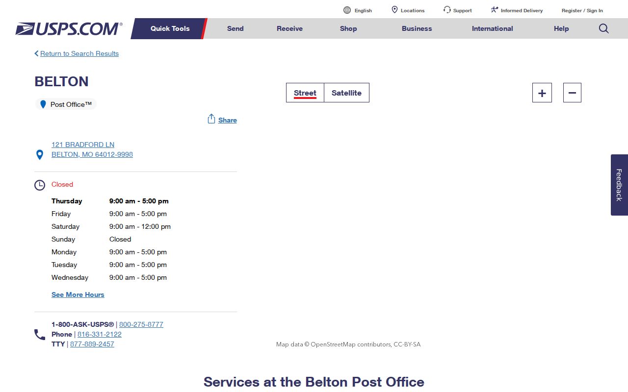
The station information is a practical contact point, while USPS lookup results remain the right source for an individual delivery address.
Belton ZIP Code Definitions
Postal terms can look like municipal terms but they are not interchangeable. Use the full address result when an address is disputed, and use a parcel or city map when the question concerns land or city service.
- ZIP Code
- A USPS delivery-routing code assigned to an address area, not a municipal boundary.
- ZIP+4
- An added four-digit delivery segment used to refine routing within a five-digit ZIP.
- PO Box ZIP
- A code used for post-office boxes; it does not prove a physical street location.
- Carrier route
- A mail-delivery grouping that is narrower than a ZIP but is still not a roster of residents.
Note: Postal labels can be correct for delivery even when a parcel lies outside the City of Belton.
Belton ZIP Searches in Local Portals
ZIP-wide people or parcel searches are not confirmed in the local tools. The Cass County Assessor’s real-estate form accepts parcel number, DBA, deed holder, house number, street name, city, legal description, and lot area. It also offers all parcels or only parcels with photos. ZIP is not among the published fields, so use city and street details or GIS browsing instead of expecting a ZIP filter.
| Search field | Belton ZIP use |
|---|---|
| House number and street name | Best when a full 64012 address is known. |
| City | Limits a parcel search to Belton, but does not replace the ZIP. |
| Deed holder or legal description | Useful after a parcel result identifies a person or lot. |
| ZIP | Not listed as a Cass Assessor real-estate search field. |
CAMAvision shows Search, Layers, Results, Print, Legend, and Tools, but its inspected landing screen did not confirm a ZIP filter. The voter portal requires exact person fields and Cass County, not a ZIP-only lookup. Belton eTRAKiT has public permit, planning, license, and violation searches, but no listed ZIP field.
The Cass County Clerk and Election Authority keeps historical voter lists documented back to 1903 at the Historic Courthouse. That history does not turn 64012 into a public person-search filter. Missouri’s public voter-file rules in RSMo §115.157 identify defined fields and restrict full dates of birth, Social Security numbers, signatures, and ballot selections. A date-specific request must go to the election authority, and the research did not locate a Cass bulk-file form, fee, or delivery specification.
For a ZIP-oriented civic question, begin with the postal result, then identify the parcel, ward, precinct, or city map that actually governs the question. A single address can have a valid 64012 mailing label while its parcel, service boundary, or voting geography is described by a different local system.
Belton ZIP Code Parcel Keys
Once USPS confirms an address format, the Cass Assessor and CAMAvision map can supply the property keys that Postal Service results do not show. Copy the parcel number exactly from the result. Cass County did not publish a parcel-number format in the inspected material, so it should not be inferred. The legal description may use a lot, block, subdivision, or a metes-and-bounds description.
For a recorded title question, use the parcel’s legal description in the Cass County Recorder index. Real-estate records are online from 1980 to the present, available in the Recorder’s office from 1940 to the present, and older records are directed to the Cass County Historical Society by the library guide. Once the ZIP has narrowed an address to a street, the Belton street directory has the fuller address-based record chain.
Belton ZIP Code Boundary Changes
Belton’s 64012 mailing area and city boundary do not form one shape. Cass County’s 2010 Census geography report records Belton annexations and detachments. A 2023 city council packet describes voluntary annexations in 1971 and 1972 for most parcels south of Highway 58 between South Mullen Road and east of Bel-Ray Place. It also notes uncertainty about an old MoDOT right-of-way annexation and a proposed voluntary annexation.
That is why an edge-address question sometimes needs the current city map, a parcel, an annexation ordinance, and a recorded map rather than one ZIP result. Belton’s downtown layout also follows railroad lines, a locally distinctive feature that makes old plats and street maps safer than a simple compass-grid assumption.
Belton ZIP Code History Clues
Historic directories can complement a modern ZIP check, but they must be read with care. The Midwest Genealogy Center has Belton and Belton–Grandview–Raymore phonefiche at fiche 40032 for 1988 through 2001. These are verified telephone-directory runs, not a complete sequence of printed city directories and not proof that each listed subscriber owned or occupied an address.
The years are still useful for family-history timing. Compare an old subscriber line with a newspaper, obituary, assessor card, or deed record. Cass County’s Genealogy Branch also holds newspaper microfilm, cemetery volumes, the Crouch Files with more than 180,000 surnames, and the Twitchell index with more than 148,000 names. Those record numbers make local name research broader than a modern postal code alone.
Belton ZIP Code Directory Limits
A ZIP code does not prove residency, ownership, city jurisdiction, voting eligibility, or delivery to a named person. Utility accounts, postal delivery details, and motor-vehicle addresses are not public resident lists. The public voter file is also limited by RSMo §115.157, and Safe at Home participants can use a designated address in qualifying government records.
When a record needs correction or a boundary needs confirmation, contact the office that keeps it: USPS for delivery, Cass County for the parcel, and the City of Belton for municipal mapping.