
Belton Previous Residents by Era
A backward address trail changes source when it reaches a custody boundary. The Cass County recorder can carry the legal ownership chain, but its online and counter ranges differ. Telephone directories identify subscribers, not necessarily every occupant. Census schedules identify households, while permit records can date a change to the structure. For older material, Cass County Historical Society archives and Genealogy Branch microfilm are the documented next stops rather than an assumption that every book is online.
| Source | Years it covers | Where held | What it can show |
|---|---|---|---|
| Cass recorder online real-estate index | 1980-present | iCounty | Grantor, grantee, recording date, instrument, and image path |
| Cass Recorder of Deeds counter | 1940-present | Historic Courthouse, 102 E. Wall | In-office instruments and certified-copy route |
| Cass County Historical Society | 1940 and earlier for real estate, with record-specific variation | CCHS archives | Deed and tax books, assessor books, probate, and local indexes |
| Belton and regional phonefiche | Verified Belton years: 1988-2001 | Midwest Genealogy Center, fiche 40032 | Subscriber, phone, address, and business-directory traces |
| Federal census and local death collections | Federal schedules through 1950; death sources vary | NARA, libraries, State Archives, and Cass repositories | Household, kin, residence, burial, and transition evidence |
Begin with the newest source that fits the question. A deed sequence is best for title, but it does not prove daily occupancy. A phone listing or census can support a household connection, yet it does not replace the parcel's legal description. Note: Cass County library guidance says historical custody varies by record series, so ask before making a trip for a particular year.
Begin a Belton Address Trail
Use the Cass County Assessor real-estate search with the house number, street name, and Belton city field. Its form also allows parcel number, deed holder, legal description, lot area, and photo filtering. Copy the current deed holder, parcel number, situs address, mailing address, and exact legal description from the result. The situs is the land or building location. A mailing address is where tax correspondence goes and may belong to an agent, an entity, or an owner elsewhere.
Then open the Cass County CAMAvision map to check the parcel shape and assessment connection. Its visible controls include Search, Results, Layers, Tools, Print, and Legend. The parcel record is assessment evidence, not a roster of people at the property. The legal description is more durable than a street address because it ties a deed to a lot, block, subdivision, or metes-and-bounds description even when an address is missing from an index.
Trace Belton Previous Residents Through Deeds
For the ownership side of previous residents research, use the parcel's legal description as the control point. A grantor is the person or entity transferring an interest. A grantee is the person or entity receiving it. The deed into the current owner identifies the earlier grantor. Searching that earlier owner as a grantee can reveal the preceding acquisition. Verify the legal description, subdivision or lot and block, instrument number, and recording date at every step.
- Copy the assessor's current deed holder, parcel number, and legal description without shortening the text.
- Open the Cass recorder iCounty search and locate the current owner as grantee, using at least two last-name characters and date limits where useful.
- Match the resulting deed to the parcel by legal description, lot or block, subdivision, instrument number, and recording date.
- Read the deed for the seller or grantor, then search that seller as grantee to find the earlier purchase.
- Repeat the match backward. When the online range ends, move to recorder counter records, Historical Society holdings, Genealogy Branch microfilm, or State Archives county rolls.
- Chain of title
- The succession of recorded transfers affecting one parcel. It follows the property, not a person's address alone.
- Legal description
- The land description used in title records, such as a lot, block, subdivision, or metes-and-bounds text. It is the safest link between deeds.
- Instrument number
- The recorder's identifying number for a recorded document. Pair it with the recording date and legal description when checking a result.
Plats translate a street address into its lot, block, and subdivision. When an address is absent from an index, use the plat and legal description to keep the parcel chain intact.
Belton Previous Residents and Index Cutoffs
The online recorder index covers real-estate records from 1980 to the present. Cass County Library guidance places the recorder office range at 1940 to the present, and directs research on 1940-and-older real-estate material to the Cass County Historical Society. The record type matters, so the boundary is a research handoff, not a promise that every book changed hands on one date.
A registered iCounty account is listed as free and includes image preview, document or page printing, no service fee per document, and up to 50 downloads. When a document is missing, needs certification, or predates the accessible online image, use the Recorder of Deeds counter, the Historical Society, or microfilm. The Cass County Recorder of Deeds is also the source for official copying and record-status questions. Note: The recorder indexes scans and microfilm but does not prepare documents for recording, and it directs preparation questions to a title company or real-estate attorney.
Belton Previous Residents in Phonefiche
For people who lived at an address instead of owning it, use the confirmed phonefiche as a limited household clue. The Midwest Genealogy Center lists yellow-page-only Belton fiche for 1988, 1989, and 1990, then combined white-and-yellow Belton, Grandview, and Raymore fiche for 1991 through 1996 and 2001. The y label means yellow pages, while wy identifies both sections. These are telephone directories, not Polk city directories and not a complete resident roll.
A white-page subscriber at an address may be a non-owner occupant, owner, or other account holder. A yellow-page entry can show a business rather than a home. Record the year and the exact source section, then use a deed, obituary, newspaper, or census source to test the connection. The historical collections themselves are described in the Belton city directory material, so the backward trail can stay focused on one address.
Belton Previous Residents in Cass Indexes
Large Cass County name collections can extend a previous residents search after a deed or telephone name appears. The Twitchell digital index contains more than 148,000 names, with given, middle, maiden, and last-name access. The Crouch Files contain more than 180,000 surnames and may include family charts, maps, photographs, newspaper clippings, and other local material. Their scale makes them useful for testing name variants and family links.
Neither index proves that a person occupied one Belton address on a particular date. Use a result as a lead, then compare it with an address-keyed source, an obituary, cemetery compilation, or probate file. The local collections also include a nearly comprehensive ten-volume cemetery compilation and the Runnenburger Funeral Home index for 1901 through 1983, with originals at the Cass County Historical Society.
Match Belton Past Residents to Census
Census schedules add the household layer that deeds cannot provide. The public federal schedules currently end with 1950, and the research route includes NARA, Census resources, Midwest Genealogy Center, FamilySearch, and in-library Ancestry Library access. Missouri Digital Heritage groups federal census material from 1830 through 1940 and state census material from 1840 through 1876. An address may be written in an enumeration district or a less familiar form, so verify it against a plat, map, or the legal description rather than forcing a modern street name into an old schedule.
- Write down the person and address from the phonefiche or a deed, including spelling variants and the source year.
- Locate the household in the closest usable census and compare ages, relationships, birthplace, occupation, and address or enumeration geography.
- Check the surrounding census households when an address has a clear street sequence, but do not assume a nearby line proves the same parcel.
- Use a newspaper, cemetery record, or obituary to explain a move, death, marriage, or name change between the household evidence and a later source.
There is no confirmed early Belton criss-cross directory run in the researched holdings. The 1988 through 2001 phonefiche can therefore supplement a later address trail, while older household work relies more heavily on census, newspapers, deeds, tax records, and local collection files.
Date a Belton Address by Permit
Belton's public eTRAKiT portal adds a built-environment timeline to past residents research. The City says all permits, licenses, and planning projects moved to eTRAKiT on October 28, 2024. Public users can search permits, projects, licenses, and violations without an account. The available sample fields include record number, record type, status, address, inspection, and date. Monthly permit reports can identify project location, type, applicants or contractors where public, and reported dates.
A permit can support a date for an addition, deck, electrical work, HVAC work, demolition, or inspection. It is not title evidence and does not establish that the applicant lived there. Use the Belton permits and inspections page for the public channel and its reports. Older eTRAKiT coverage was not stated in the research, so do not use the current portal as proof that an older project has no city record.
Close a Belton Previous Residents Trail
Obituaries, cemetery collections, funeral records, and probate files can supply the final links in a past-resident trail. Cass County Public Library's memorial and obituary cards cover the 1950s through the 2010s. The nearly comprehensive Cass cemetery compilation draws from cemeteries, obituaries, funeral homes, and death certificates. The Runnenburger Funeral Home index covers 1901 through 1983, with originals held by the Cass County Historical Society. Probate can identify an executor, heirs, or estate property through the Cass Circuit Clerk and Case.net, subject to court access rules.
Missouri death certificates older than 50 years are requestable through the State Archives. Current vital records remain restricted to qualified applicants with direct and tangible interest. The Cass County Historical Society's obituary index is another local route, and research notes list obituary copies at $5. These sources help explain a name's departure from a directory or deed chain without treating an old address as permission to pursue a living person.
The Cass County digital collections include the searchable Twitchell name index and the memorial-card and obituary collection.
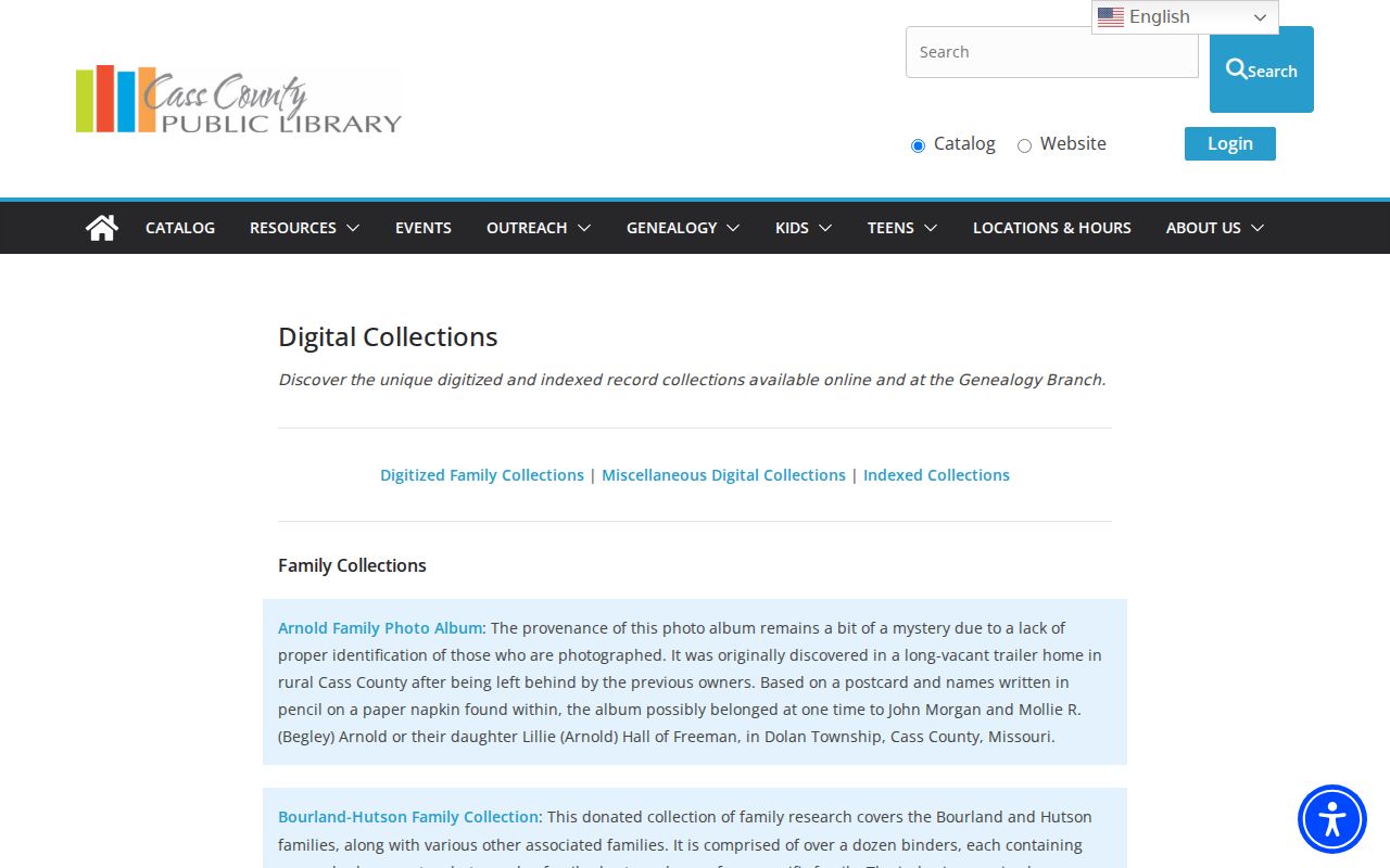
Those local indexes offer a documented way to test family, death, and former-residence leads from a Belton address history.
Lawful house history. Use a prior-address trail for personal house history, family history, estate research, or civic curiosity. Do not use names or addresses to watch, pursue, contact, harass, or harm a living person.
Belton Previous Addresses and Rotated Grid
Belton's downtown does not follow a simple compass-aligned street grid. City history places the original land purchase in 1869, the plat in 1871, and incorporation in 1872. The city budget describes the downtown grid as deliberately rotated to fit railroad lines. That local layout is a reason to compare an older address with a plat, subdivision map, and legal description before deciding it is the same place on a modern map.
Belton's current street-renaming policy requires review by Public Works, Planning, IT/GIS, Fire, and Police, and avoids duplicate or similar names. A specific historic renumbering or renaming year was not located. When a street name appears to fail, search the parcel's subdivision and lot or block, then consult city maps, plats, recorder records, and historical photos. The Missouri digitized plat collection provides a state archive route for map context.
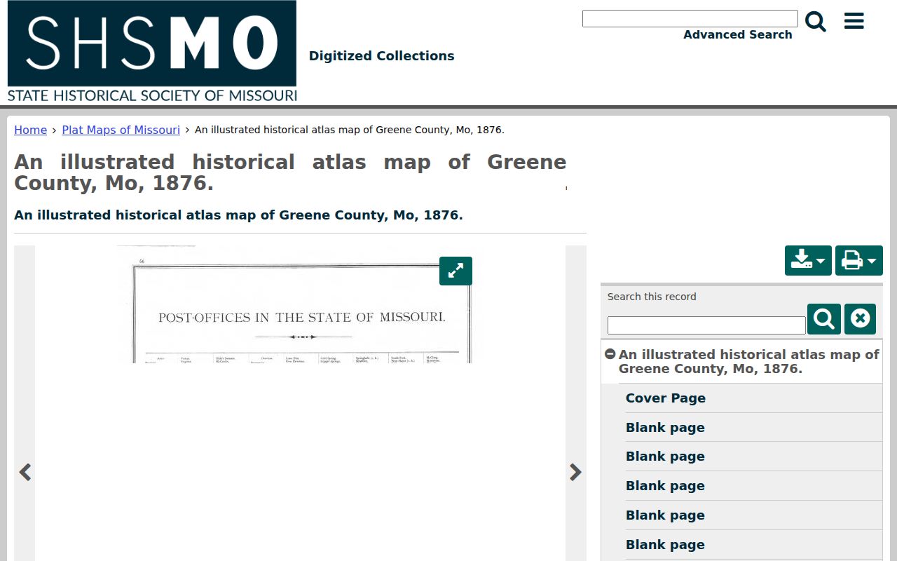
A plat can connect a changing street label to the stable legal description needed for a reliable backward Belton trail.